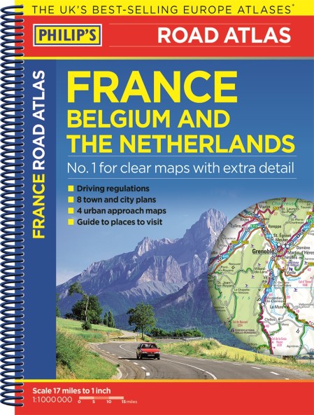
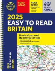
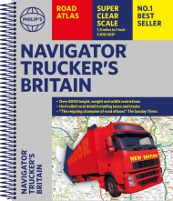
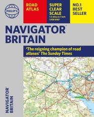
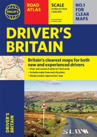
Philip’s Road Atlas France, Belgium and The Netherlands
On sale
7th January 2016
Price: £5.99
Selected:
Paperback / ISBN-13: 9781849074001
Philip’s Road Atlas France, Belgium and The Netherlands shows the national road networks at a scale of 1:1 million, with ultra-clear detailed mapping for urban areas. Scenic routes are highlighted, and the maps show numerous places to visit including beaches, theme parks, national parks and World Heritage sites.
Philip’s Road Atlas France, Belgium and The Netherlands includes:
2-page route-planner;
Listings for ski resorts and top visitor attractions;
38 pages of clear, detailed road maps, with car ferries and toll, toll-free and pre-pay motorways all clearly marked;
Large-scale approach maps for four major cities (Bordeaux, Lyon, Paris, Strasbourg);
City-centre plans marking historic buildings and tourist attractions as well as car parks, head post offices and other facilities in eight major cities (Amsterdam, Brussels, Bordeaux, Luxembourg, Lyon, Marseilles, Paris, Strasbourg).
Newsletter Signup
By clicking ‘Sign Up,’ I acknowledge that I have read and agree to Hachette Book Group’s Privacy Policy and Terms of Use

